 Mudzi Rural District Council is one of the nine (9) Rural District Councils in Mashonaland East Province. It is located some 216km from Harare along the Harare – Nyamapanda highway and is situated on the North Eastern part of Zimbabwe, bordered by Mozambique on the East, Rushinga District (Mashonaland Central) in the North and Uzumba-Maramba-Pfungwe (UMP) District on the North western side and Nyanga District (Manicaland Province) on the Southern side.
It covers an area of 143 000 hectares and is in the Agro-ecological Region 4 and 5. The district is mainly communal and agro-based with emerging and vibrant four service centres namely Kotwa Growth Point which is the modal centre of administration for the whole district, Nyamapanda border post, Makaha and Suswe. Council’s annual budget is about $47 000 300 which is a far cry from what is required for the various capital projects needed to meet the needs of the district. It has a population of 134 076 (2012 census).
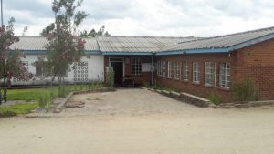
The Council Headquarters is at Kotwa Growth Point. The greatest potential of the district lies in exploitation of natural endowments such as black granite, gold, tantalite, masawu, mawuyu and the game reserve activities at Nyatana Trans-frontier. Its strategic location on the border with Mozambique gives it a unique advantage. The Local Authority is mandated by the Rural District Councils Act 29:13 to provide a myriad of socio-economic services such as infrastructure development and maintenance, provision of social services, servicing of commercial and industrial stands, recreational facilities, water and sanitation and sanitation amongst others.